Accéder au contenu principal

7e Randonnée : Djebel Rass Gassaa Zaghouen (30Km)


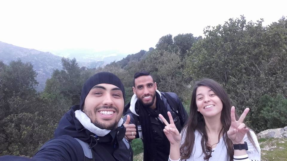
  • La Montagne de Zaghouan : Une escalade du sommet "Ras el Gasaa", presque 1300m d'altitude, un vrais challenge à vivre.

 Le Djebel Zaghouan (جبل زغوان) est une montagne située dans la partie nord-est de la dorsale tunisienne, sur un espace de neuf kilomètres de long et trois de large. Elle culmine à 1 295 mètres au sommet du Ras El Gassâa.
- On y trouve notamment Le chêne vert, le pin d'Alep et le caroubier, tandis que l'aigle royal, le faucon pèlerin, le percnoptère, le sanglier, le chacal, la mangouste, le lièvre, le lézard et la couleuvre sont les principales espèces faunistiques.


  • The mountain of Zaghouan: an escalation of the Summit "Ras el Gasaa", almost 1300m of altitude, a real challenge to live.


The Jebel Zaghouan (جبل زغوان) is a mountain located in the north-eastern part of the backbone of Tunisia, on a space of nine kilometers long and three broad. It culminates at 1 295 meters to the Summit of the Ras El Gassâa.


- In particular, there is the green oak, the Aleppo pine and the carob, while the royal eagle, peregrine falcon, percnoptère, wild boar, the jackal, the mongoose, the hare, the lizard and the snake are the main species faunistic.


Ajouter une légende

Commentaires

Posts les plus consultés de ce blog

14e Randonnée : Baignade a Hammem Laghzez

Hammam Ghezaz (حمام الأغزاز) est une ville tunisienne du cap Bon située au nord de Kélibia, à l'extrémité orientale de la péninsule. Rattachée au gouvernorat de Nabeul Elle polarise une zone agricole maraîchère où sont notamment cultivés le tabac et l'arachide. En direction de Kélibia s'étend une longue plage de sable, la plage de Sidi Mansour, qui pourrait susciter un projet d'implantation touristique.  Hammam Ghezaz (حمام الأغزاز) is a tunisian Town of Cape Bon located to the north of Kelibia, at the eastern end of the peninsula. Attached to the Governorate of Nabeul It polarizes an agricultural area where vegetable are including grown tobacco and the peanut. In the direction of Kelibia extends a long sandy beach, the beach of Sidi mansour, which could generate an implantation project tourism.

11e Randonnée : Djebel Serj et Spéléologie a Grotte Ain Dhab

La spéléologie en Tunisie est une activité sportive qui a émergé à la fin des années 1970. De nos jours, elle connaît une expansion à travers le territoire en suscitant l'adhésion de pratiquants de tout âge et de toute catégorie socio-culturelle. La Tunisie a une plateforme géologique adaptée à cette pratique et possède plusieurs sites (grottes, gouffres, etc.) répartis sur tout le territoire tunisien => La grotte de Aïn Dhab est composée d'une succession, sur 3 km de long, de neuf salles pourvues de gours et de concrétions, d'une rivière souterraine et surtout de longues fistuleuses att eignant les six mètres. The caving in Tunisia is a sporting activity that has emerged at the end of the 1970s. Of our days, she knows a expansion through the territory in eliciting the accession of the practitioners of any age and any Category socio-cultural. Tunisia has a geological platform adapted to this practice and has several sites (caves, sinkholes, etc.) throughout t...

22e Randonnée : Djebel Ressas Grottes + Pic

Le djebel Ressas (جبل الرصاص), aussi orthographié djebel Reças (littéralement « montagne de plomb ») est une montagne du nord de la Tunisie. Cet affleurement de calcaire de la période jurassique est situé au sud-est de Tunis. Si le profil familier du djebel Boukornine peut paraître plus élevé vu depuis Tunis, le djebel Ressas reste, avec 795 mètres, le plus haut des deux sommets. The   djebel   Ressas  ( جبل   الرصاص ),  so   spelt djebel   Reças  ( literally  " lead   mountain ")  is   a   mountain   from   the   north   of   Tunisia .  This   outcrop   of   limestone   of   Jurassic period   is   located   in   the   southeast   of Tunis .  If   the   familiar   profile   of   the   djebel Boukornine   can   seem   higher   seen   since Tunis ,  the   djebel   ...